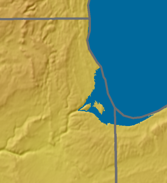
 The Chicago Lake Plain stretches from Winnetka south to the Indiana border where it continues as the Calumet Lake Plain. This low lying area is an extension of the floor of ancestral Lake Michigan.
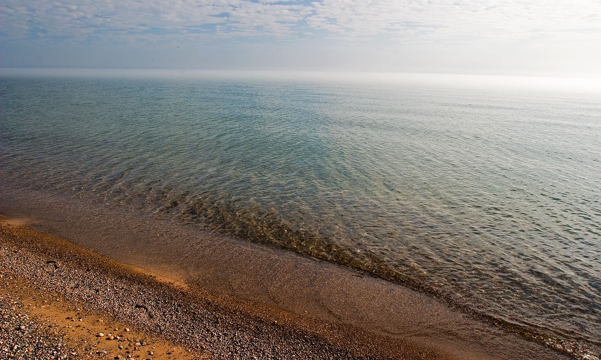
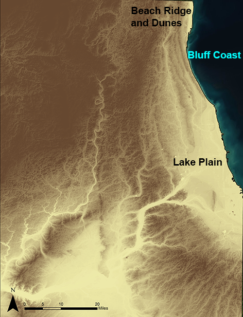
The Lake Plain was submerged repeatedly during periods of high lake levels, pushing the shoreline further west and south. Remnant sand ridges up to 20 feet high can be found inland, formed by coastal processes thousands of years ago.
While this area is flat, if you travel north along the shore the elevation increases and you enter the Bluff Coast, an area where the lake intersects a moraine formed as the glaciers melted 14,000 years ago. From Winnetka to North Chicago the bluffs rise up to 90 feet high.