Trelease Woods Forest Dynamics Plot
The first census of the Trelease Woods Forest Dynamics Plot began in 2018. The plot joins the Smithsonian’s Forest Global Earth Observatory (ForestGEO) Network, a global network of forest sites dedicated to the long-term study of the world’s forests. All trees in Trelease ≥ 1 cm DBH are measured, tagged, and mapped and will be re-censused every 5 years.
Learn more about the history of Trelease Woods, research motivation, and student involvement:
History of Trelease Woods
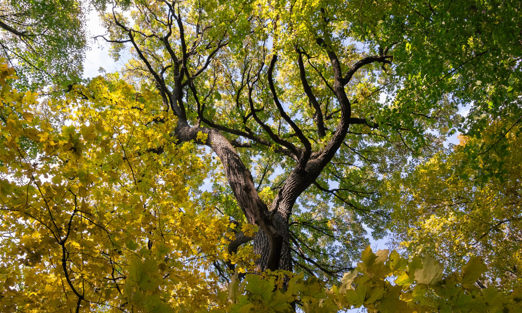
Trelease Woods, located 8 km northeast of Urbana, Illinois, is a 24.5-ha old-growth remnant of the “Big Grove,” a pre-settlement oak-hickory forest that once occupied a 26 sq km area in Champaign County. Since its acquisition by the University of Illinois in 1917, Trelease has been the site of ongoing research and educational opportunities.
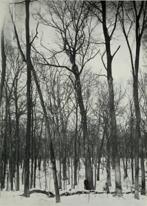
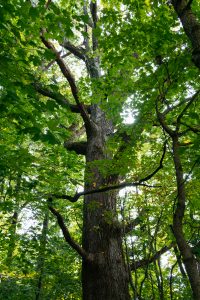
Big Grove remnant in the 1920s | Trelease today