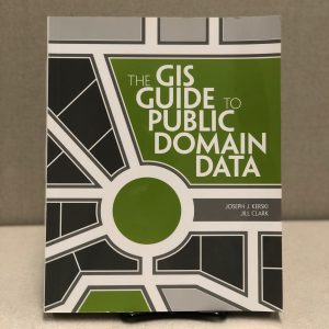
One of the first challenges encountered by anyone seeking to start a new GIS project is where to find good, high quality geospatial data. The field of geographic information science has a bit of a problem in which there are simultaneously too many possible data sources for any one researcher to be familiar with all of them, as well as too few resources available to help you navigate them all. Luckily, The GIS Guide to Public Domain Data is here to help!
“There are several ways to obtain spatial data,” begins a section of the books chapter, “you could purchase data from an organization or individual … or you could download data for free. Alternatively, you could create the data yourself.” While all three are valid ways of finding data, depending on what you need and what resources you have available, this book focuses on “data that are available for free with subsequent usage not subject to copyright or licensing constraints.” That’s a more roundabout way of restating the book’s title: data not subject to licenses or copyright is public domain data.
Frequent seekers of geospatial data, even those who have never given a second thought to copyright, may notice a theme that binds much of the data they’ve used together: a large portion of data used in GIS is produced by the federal government. This is because, as authors Kerski and Clark point out, “works of the US government, including spatial data, cannot be copyrighted.” Any data created by the federal government is automatically entered into the public domain and therefore free to use. Kerski and Clark take a historical look into how the entire practice of using GIS for research is built up around a foundation of public domain, freely available US government data.
Importantly, the book notes that this statute only applies to the federal government, and that works created by state or local governments are able to by copyrighted. The book take a look at Creative Commons licenses and other types of licensing agreements that may allow researchers to use copyrighted data for free as well.
Clocking in at almost 400 pages, this book is difficult to sum up in just one blog post, but subsequent chapters cover important topics such as: how to determine data quality and find the highest quality of public domain data; what state and national portals are most useful for finding such data, and even how to use the data once you’ve found it. This book was published in 2012, so some of the information it contains is out of date, but considering how quickly things can change in the digital age it holds up surprisingly well.
This book is a fantastic resource for anyone looking to start a GIS project. Stop by the Scholarly Commons reference collection today and take a look for yourself!


