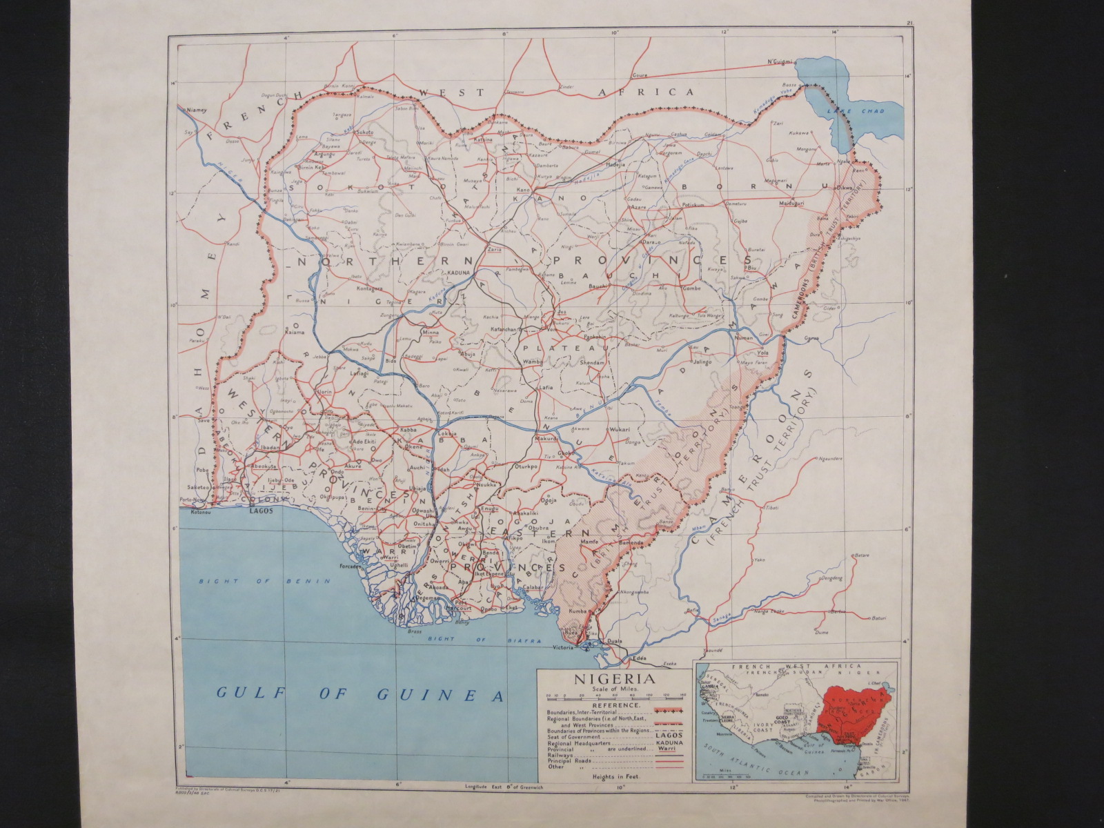
This British map clearly shows the area of the Cameroons (British Trust Territory). Looking at the southern portion, the boundary between the Northern and Southern Cameroons can be seen.
Nigeria / compiled and drawn by Directorate of Colonial Surveys. Scale approximately 1:4,000,000. [Teddington, England?] : Directorate of Colonial Surveys, 1947. Map Library call number: G8200 1947 .G7