We began the day in Elk City, OK. Repeated rounds of convection during the night had pushed the cold front that triggered yesterday’s storms southward into Texas, where it was forecasted to stall. The upper-level trough that had provided the support for yesterday’s severe weather had lifted into the Northern Plains, leaving only neutral upper-level forcing for severe storms over the trailing portion of the front in Northern Texas. There was also the possibility that upslope flow around the building high over the Central Plains would lead to storms over the Rocky Mountains of Colorado and New Mexico, though moisture would likely be meager. As such, the Storm Prediction Center had left us with plenty of reading material in their Day 1 Convective Outlook. Prospects for tomorrow looked even worse, so we turned our attention to a more attractive Day 3 target in, gulp, North Dakota, which is a long way north of the I-40 corridor. Also factoring into our decision was an annular solar eclipse that would be most visible from the Southwestern United States, including New Mexico and Colorado. Not wanting to drive farther from a potentially painfully far Day 3 target, and wanting to see the eclipse, it was decided to take our chances with the upslope play, even though it looked as if the more robust convection would be to our south in Texas. What followed would be one of my favorite something-out-of-nothing chases of all time.

Map showing most of our route on May 20, 2012. Click here for interactive version.
After stopping for lunch at the Big Texan Steak Ranch in Amarillo, we continued northwest toward Raton, New Mexico, and the Raton Mesa, one of the favored areas of storm initiation on upslope days. It admittedly felt a bit strange to be chasing under first cloudy, then clear skies with temperatures only in the 60s. Passing the desolate scenery only added to the mood.

View of a dead tree, virga, and Capulin Volcano from 1 W Des Moines, NM, looking WNW.
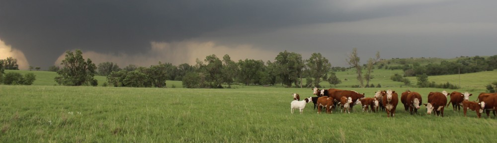
Outside of Raton, NM (Point A on the map), we stood along the road and watched small showers develop over the mountains and struggle mightily to come off of the higher terrain. There just was not sufficient instability to allow the showers to persist over the lower elevations.

One of many showers we watched develop over the mountains west of Raton but struggle to come eastward.
Although the scenery was nice, we had enough rain shower chasing for the afternoon and decided to head for Colorado since it was in the general direction of North Dakota. We also wanted to get away from the clouds to see the eclipse. Finally, there was a chance that we could pick up another storm along the way to our hotel in Pueblo, CO.
We followed I-25 north across Raton Pass on the New Mexico-Colorado border. As we ascended the pass, the sun came out and hit the surroundings with perfect lighting, giving a nice photo opportunity. I also was able to snag a picture of Trinadad, CO, despite traveling at over 55 mph.

Fisher’s Peak Mesa from the Colorado Welcome Center on I-25 North, looking NE.

Trinadad, CO, viewed from I-25 North near exit 14, looking E.
It was eclipse time. We didn’t have any special viewing supplies with us, but we were able to get a decent view via cameras (being careful not look at the sun through the lens) from the van.

The annular solar eclipse, viewed from I-25 somewhere between Trinadad and Colorado City, CO, looking W. Photo courtesy Zach Wienhoff.
After the eclipse, we noticed an isolated high-based storm to our northeast. Since there weren’t many roads where this storm was headed, and it was almost sunset, we pulled off the Interstate near Colorado City, CO, to admire it from afar. As the sun went down, the updraft tower was colored white, yellow, and orange. It felt great just to stand and admire this scene for close to an hour.

Supercell thunderstorm, inflow tail, and pileus cloud lit by the setting sun, viewed from 2 NE Colorado City, CO, looking NE.
We saw some scenery, a few showers, the eclipse, a distant storm, and a nice sunset. Not bad. Now it was time to make something out of nothing.
As the sun went down on our way into Pueblo, we noticed that another supercell thunderstorm had developed over the mountains west of town and would be moving over the city. Naturally wary of hail, we found an overhang at a nearby clinic (they were closed; it was a Sunday night) and watched the lightning. As the storm came in, the rain quickly changed to a cascade of pea to dime-sized hail, which coated the ground in about a minute. Although this is a regular occurrence in Colorado, the students had never seen anything like it; they played in the hail, made hail balls, and even hail angels.

Hail covering the ground in Pueblo, CO. Most of this fell in less than a minute.
We started the day with expectations near zero and they were widely exceeded by this seemingly freak hailstorm a mile from our hotel. The students were happy, I was happy, and we were all staring at a 1000+ mile drive to North Dakota over the next two days. Life was good.