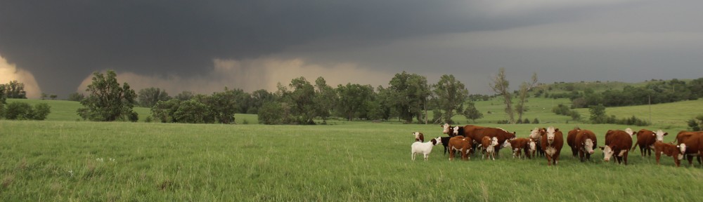
On May 19, a cold front was forecast to move into the Southern Plains during the afternoon. This front would occlude a dryline as it advanced southeastward, resulting in a triple point somewhere over western Oklahoma or the eastern Texas Panhandle. The large-scale ascent and associated midlevel cooling from an approaching upper-level trough was not forecast to arrive until mid to late afternoon, meaning that storm initiation along the front would likely be delayed until then. Only limited moisture return ahead of the front and relatively rapid upscale growth of the storms into a squall line would likely limit the tornado threat. My hope was to see a couple of nice supercells before this happened. Accordingly, the Storm Prediction Center had outlined the entire area in a slight risk for severe thunderstorms, with hail and damaging winds the mean threats.

Map illustrating our route on May 19, 2012. Click here for interactive version.
We left Garden City, KS, that morning and drove ESE to get ahead of the slowly advancing cold front. After grabbing a quick lunch, we took a side trip through Greensburg (Point A on the map above), which was devastated by an EF-5 tornado on May 4, 2007. It was my first time there since 2009 and was quite surprised at the progress in rebuilding the town.

Downtown Greensburg, KS, looked much different than it did in 2009.
We waited for storms to fire at a park in Coldwater, KS (Point B). Since storms would likely become linear fairly quickly, my goal was to get on the tail end storm (tail-end Charlie) since it would likely have the best chance of remaining a supercell for the longest time.
A line of towering cumulus clouds was visible on satellite to our southwest, while a small, quasi-linear cell had developed to our north. We decided to maintain our original plan and head south into Oklahoma for what would become tail-end Charlie.
As we photographed transient multicellular updrafts, some exhibiting brief supercell-like structures at Points C and D, (always with new convection firing to their immediate SW, implying further linear growth), we received word that the cell north of Coldwater produced several non-supercell tornadoes, one of which severely damaged a wind turbine.

Line of multicellular updrafts viewed from 2 S Leedey, OK, looking SW.

Transient supercell structure viewed from 5 N Leedey, OK, looking NNE.
We continued to drop south to Point E on the map and finally found what we were looking for: A monster HP supercell anchoring the southern end of the line. This storm provided a nice photo opportunity, and I shot one of my favorite photos of all time: A tanker truck, with a red placard, driving straight into the storm (this shot won the University of Illinois School of Earth, Society, and Environment Research Review Photo Contest in 2013, back when a professional photographer still judged these things).

High-precipitation (HP) supercell viewed from 8 N, 3 W of Elk City, OK, looking W.

Tanker truck (with red placard!) driving into an HP supercell, 8 N, 3 W of Elk City, OK, looking W. What was the driver thinking????
We cut east on I-40 to Foss, Oklahoma (Point F), to stay ahead of the storm. From this vantage point, we got a good view of the wall cloud and developing shelf cloud along the rear-flank gust front, as well as of a second HP supercell that developed immediately to its SW.

HP supercell, shelf cloud, and wall cloud viewed from 1 S Foss, OK, looking NW.

Sunset shining through the storm. Viewed from N of Clinton-Sherman Airport, looking NNW (vehicle was in motion).
As the sun went down, I called off the chase and was expecting an easy 10-mile drive to our hotel in Elk City. The only problem was that an HP supercell warned for baseball or larger hail was sitting between us and our destination. As we let the storm pass to our north, storms developed along a line all the way into the eastern Texas Panhandle as the nocturnal low-level jet slammed into the cold front.

Line of updrafts stretching into the Texas Panhandle at sunset. Viewed from 4 S Canute, OK, looking WSW.
It did not appear possible to drive around the SW end of the line, and I had little desire to punch through cores warned for softball-size hail after dark. We were also low on fuel, so drove SE to Hobart, OK, (Point G) to stay ahead of the line and fill up. As we left town, we noticed a weak spot in the line between embedded HP cores (the VIL was only 50!) that would be passing over US 183 to our north. We decided to punch through the line, only receiving blinding rain and pea-sized hail, and finally arrived at our hotel about 2.5 hours later than originally expected.
A day that produced one of my favorite photos I have ever taken also produced my most harrowing (at the time) storm chasing experience after dark (I really want to avoid getting the University’s van damaged by hail). I think this was also the only night while chasing when I went to bed without dinner.