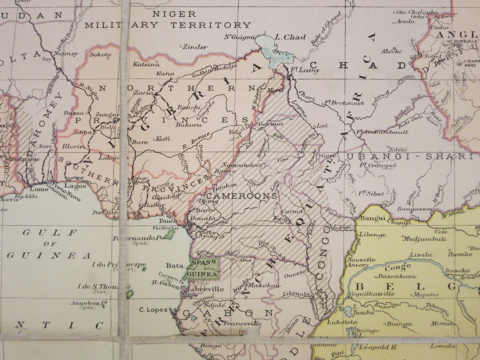
Although not clearly marked, diagonal lines in eastern Nigeria show the location of the British Cameroons.
Portion of: Political map of Africa : showing international boundaries and railways : international boundaries corrected to 1920, railways corrected to January, 1918 / drawn and printed at the War Office, 1914. Revised, March, 1921. [London} : General Section, General Staff, 1921. Map Library call number: G8201.F2 1921 .G7