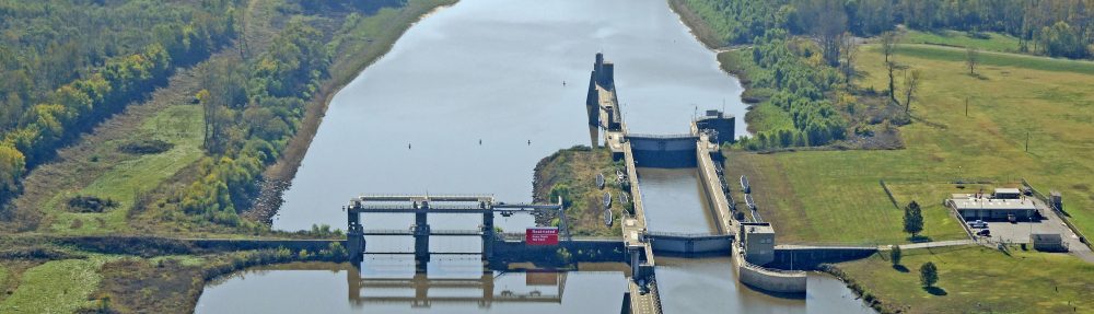

The Kaskaskia River Watershed is a major region of agricultural interest in Southern Illinois, encompassing central and southern regions of the state. The watershed feeds directly into the Mississippi River and drains approximately 1,506,800 ha of land. In total, the area makes up 10% of land in Illinois and is the state’s second largest watershed. The Kaskaskia River is main river, with a length of approximately 523 km, however the watershed has approximately 12,436 km of combined area through seventh order streams, 43% of which flows through agricultural areas (WikiWatershed 2018). Because of this, over 70% of the land area is devoted to agriculture. Of the various agricultural practices, approximately 57% is devoted to cultivated crops, primarily corn and soybeans, and 13 percent is devoted to pasture and hay land uses (NLCD 2011).