Street View & Google Maps
Innovation spaces staff have been experimenting with using the Google maps platform to add traditional images and 360 photos to the map database. You can see out contributions here – https://www.google.com/maps/contrib/100744652570239518200/photos/
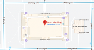
We hope to eventually be able to view these images on Google Earth using the HTC Vive headset. You can currently search for 505 E. Armory, Champaign in Google Maps or Google Earth, click on street view, and look for the blue dots within the Armory building. These dots represent the 360 images of the TechHub and VR Lab we’ve uploaded.