Remote Scouting Series: Reading and Understanding Topographic Maps
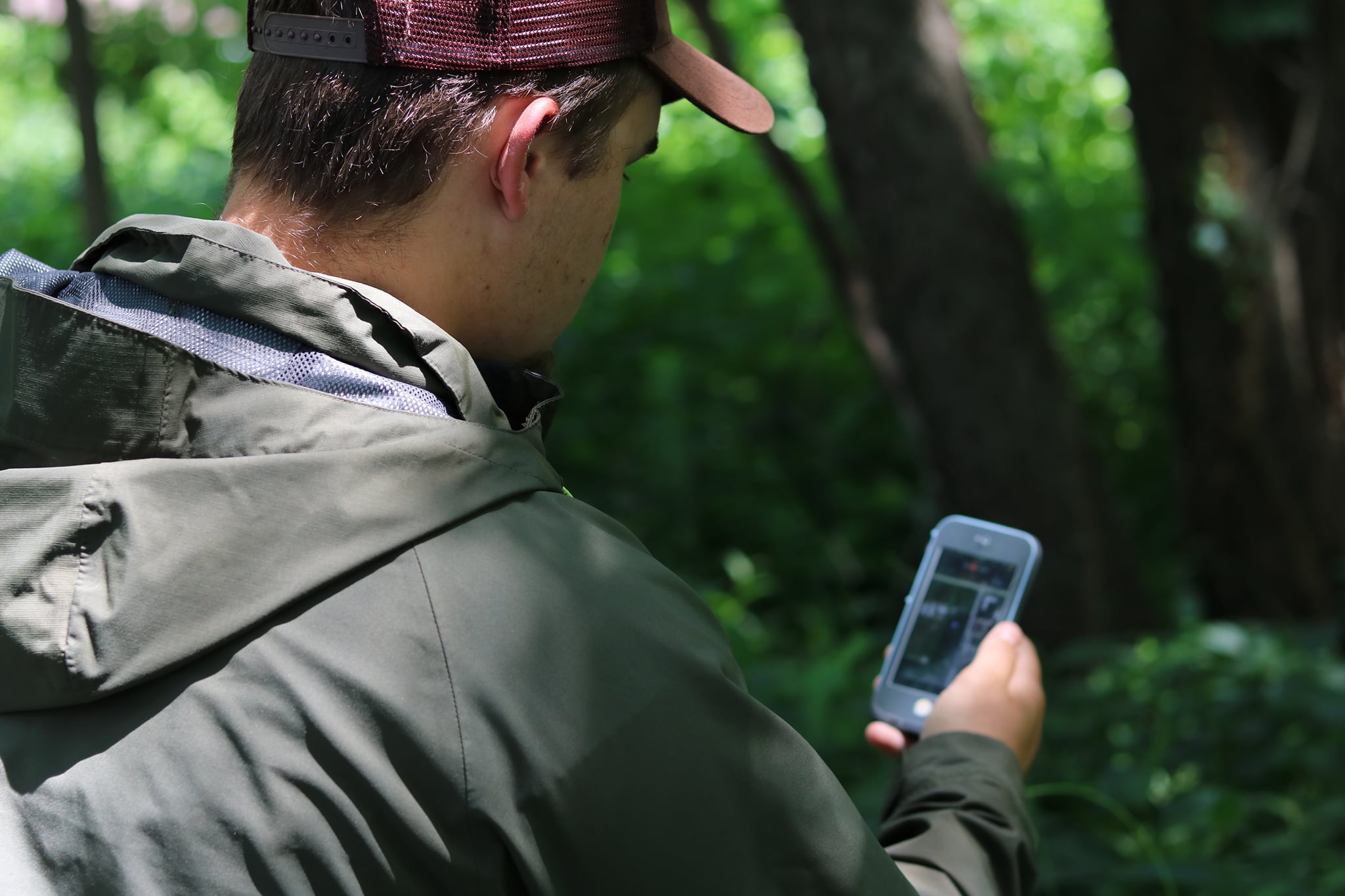
As much of Illinois is experiencing substantial snowfall and below average temperatures many of us are hunkered down inside waiting for the eventual onset of spring. As a hunter, I like to take this time to clean and organize my gear, practice my turkey calling skills, and spend time developing a plan for my scouting efforts for the upcoming turkey season. With recent technological advancements hunters now have modern tools that can aid in the hunt-planning and scouting process.
Remote scouting is a technique that utilizes modern technology to better understand and predict how wildlife moves across the landscape. Remote scouting does not replace field scouting efforts but is best used in conjunction with field scouting and can create a feedback loop influencing your afield scouting efforts. Over the next few weeks, we will dive into remote scouting strategies, map-reading, and developing a scouting plan. This week, we will highlight the importance and the basics of reading topographic maps.
Reading Topographic Maps
Having the ability to read and understand topographic maps is an essential skill for any hunter. When looking at a topographic map, the first thing you will notice are contour lines snaking around the map. Contour lines are a closed loop, never intersect, and all points along the same contour line are at the same elevation above sea level.
Essentially, by following a contour line on the ground you would not travel uphill nor downhill but remain at the same elevation. When looking at topographic maps, you will notice both thick and thin contour lines. The thicker contour lines, index lines, are labeled with a number revealing the true elevation above sea level. The thinner contour lines, interval lines, are unmarked lines between the index lines.
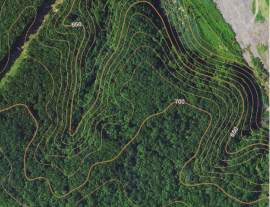
For example, an index line marked “650” means everything along that contour line is at 650 feet above sea level. On a map with a 10-foot contour interval, the interval line to the inside of the index line would be at 640 feet above sea level. The interval line outside of the index line, would be at 660 feet above sea level. If you are having trouble deciding whether the interval lines are on the outside or the inside of an index line, remember, contour lines are closed loops so you may need to zoom out to view the entire closed loop. Additionally, you may be able to find other index lines that are labeled with the elevation.
Another crucial component of contour lines relies on the spacing between lines. The closer the contour lines are together, the steeper the slope and the farther apart the lines are, the more gentle the slope.

In summary, there are 4 key points to remember regarding contour lines:
- Every point along a contour line has the same elevation above sea level
- Contour lines close to form a circle
- Contour lines close together indicate a steeper slope; contour lines spread farther apart are gentler slopes
- One side of a contour line is uphill and one is downhill
Slope Aspect
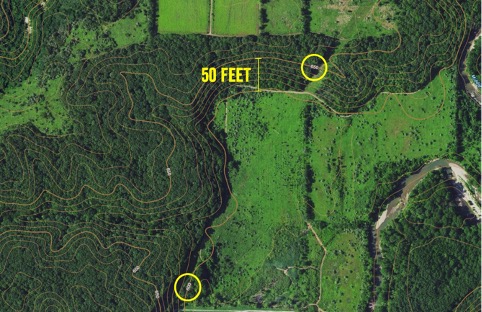
As many of us know the aspect of a slope, the direction that a slope faces, can impact plant communities, temperature, and even an animal’s propensity to use an area. South-facing slopes receive more solar radiation for longer periods of the day that northerly oriented slopes. This causes these slopes to be warmer and can be extremely productive at holding wildlife during colder temperatures. With a good fundamental understanding of contour lines, you should be able to locate these slopes with ease. As you can see in the example below, we have a slope of 50 feet that primarily faces South.
Another thing to consider when analyzing slope aspects is the primary wind direction and how that impacts how wildlife may utilize a slope. A common spring occurrence that many turkey hunters face is windy conditions, especially in a relatively flat state like Illinois. There are always exceptions to the rule, however, it is fairly common to locate birds on the leeward (downwind) sides of slopes as they use the slope as protection from prevailing winds.
Now that we have a fundamental understanding of contour lines and that topographical changes can impact wildlife movement, stay tuned for next week’s post as we dive in-depth into some commonly encountered terrain features and how they will be represented on a topographic map. We will also discuss how these terrain features impact wildlife movement and can influence your hunt.