Until recently the satellite images of Urbana in Google Earth and Google Maps were crappy low-res pictures full of mostly green blobs. Well that seems to have changed.
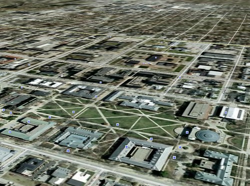
Here’s a perspective view across the quad.
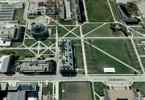
This image of south campus reveals that the satellite data must be a little old. Notice how the clocktower (of Sauron) is not in the photo.
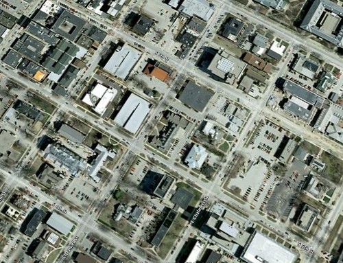
Campustown with GSLIS in the center. The images aren’t super hi-res but they’re much better than what was available before. Next step will be to create the 3D building models and embed them. Any takers?
Google Earth allows users to markup the images with different shapes and markers. For fun I traced my bike route to work and then blogged about it on one of my other blogs, woot GIS fun!
(ps, I tried upload images to the blog but it didn’t work. My workaround was to put them on flickr and use the flickr generated embedding code.)