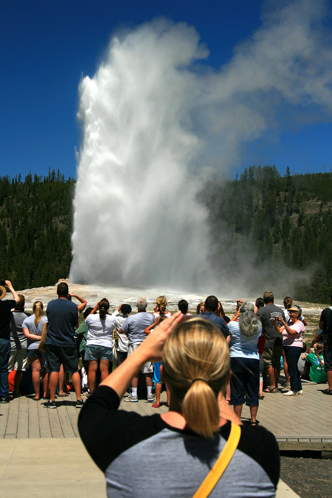
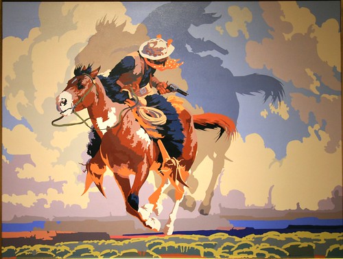
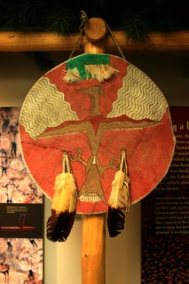
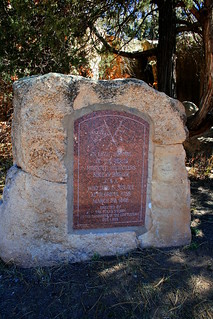
The Dunes of Lake Michigan

Portage Lake Unit in Winter

Lake Michigan has two great national parks, Indiana Dunes National Lakeshore (Indiana) and Sleeping Bear Dunes National Lakeshore (Michigan). Both are biologically rich, and reward exploration. Don’t stop at the beach!


The Old Man and the Sea

There’s also a political back story in each place, with questions of race and class, and trade-offs between economic growth and the environment.

See my full story here.

Photos from Indiana Dunes.

Photos from Sleeping Bear Dunes.

Further reading

For Indiana Dunes, see
Franklin, Kay and Norma Schaeffer. 1983. Duel for the Dunes: Land Use Conflict on the Shores of Lake Michigan. Urbana and Chicago: University of Illinois Press.

For Sleeping Bear Dunes, see
Kalt, Brian C. 2001. Sixties Sandstorm: The Fight Over Establishment of a Sleeping Bear Dunes National Lakeshore, 1961-1970. East Lansing: Michigan State University Press.

For data and charts on visitation to Indiana Dunes by underrepresented groups, see the following article. Indiana Dunes is unusual compared to other park units, apparently because it lies close to minority-dominant communities.
Weber, Joe and Selima Sultana. 2012. “Why Do So Few Minority People Visit National Parks? Visitation and the Accessibility of ‘America’s Best Idea.’” Annals of the Association of American Geographers 1-28.

The Manitous

Yellowstone 2013: Geology

Two Cones

Yellowstone is famous for its geology.  The park holds more than half of the world’s thermal features.  Its surface appearance reflects the activity of a huge caldera that last erupted about 650,000 years ago.  The Yellowstone River carves a spectacular canyon, the Grand Canyon of the Yellowstone, that holds two beautiful waterfalls, 308 and 109 feet high.  There are petrified forests atop Specimen Ridge inside the park and in the northern Gallatin range just outside it. Mountains such as the Gallatin, Beartooth, and Absaroka ranges ring the park, and the Red Mountains lie entirely within it.

Terrace at Mammoth Hot Springs

Despite those riches, geology is an awkward subject for a class on the “Politics of Yellowstone.” The federal government does not have a policy on place tectonics or volcanism. With rare exceptions, we do not have a geyser policy. At the same time, it would be stupid for the course to ignore these wonders. The students rightly want to see this famous geology while they’re in the park.

Old Faithful

What to do?  We use the scenic geology to start talking about tourism. By visiting tourist-heavy destinations like Old Faithful or the Grand Canyon of the Yellowstone, we examine the impact of tourism development on the environment. Finding a geyser along the trail in an isolated area is very different than viewing Old Faithful from a boardwalk surrounded by hotels, restaurants, gift shops and parking lots.

Our first examination of these issues in 2013 came along a trail I call the “Yellowstone Sampler.” We see some unfenced thermal features in the backcountry and usually walk fairly close to some bachelor bison groups at the north end of the Hayden Valley.  After lunch at a scenic spot, we emerge from a moderately-low use trail to the crowds and parking lots of Artist Point.  The transition is pretty sudden, which makes it a good place to talk about developed tourism and personal experiences of nature.

Stumped!

The hike encourages students to think about “wilderness” – the Wilderness Act of 1964, students’ personal definitions of nature and of wilderness, and the views of other people. Does wilderness matter to people? Is it important for well-functioning ecosystems? Does the preservation of the world, as Thoreau wrote, lie in wildness?

Specimen Ridge


In 2013, I added a new hike to our second full day in the park.  As part of our driving tour of the Lamar Valley’s wildlife, we climbed the lower reaches of Specimen Ridge to reach a petrified forest.  This was a remarkably steep trail, posing a definite physical challenge – but one that rewarded us with great views from high above the Lamar. We remained in sight of the park road, but the physical challenge contributed to the wilderness feel of the experience for many students.

Though some guidebooks describe it, Petrified Forest is an unofficial trail, not found on park maps. The Park Service does not maintain it, so people find their own track.  This results in many social trails and greater impact on the landscape.

In some parks, there might be a road going up to a site like this.  Instead, Yellowstone has decided to keep these petrified trees unpublicized, accessible only by a difficult and unmaintained trail.

Boardwalk at Grand Prismatic

Is that democratic?  Most visitors – about 97% – want to experience Yellowstone from their automobile or a high-density, paved path. Why do we keep them away from the petrified forest?  Automobile sightseers are restricted to a single petrified tree just off the park road, and that tree is surrounded by a fence.  Even that lonely tree is inaccessible to recreational vehicles. Is that fair? Or should the park keep some destinations away from the vehicles, recognizing that hikers have some “right” to physical challenge?

Parks are for people


When you ask those questions you realize that Yellowstone’s geology starts to open up all sorts of questions about political values.  What are national parks for? Who are they for?

Some might argue that Yellowstone should serve the vast majority of Americans who want to go sightseeing only a short distance from their automobiles.  Others might emphasize the wilderness experience that can be found only in the larger national parks. Still others might move away from human needs and argue that only large wilderness areas can protect intact, well-functioning ecosystems.

Those are the big topics of the national parks. Geology may not be a politically-salient topic, but it turns out that you can find political themes if you use the geology to play tourist.

Lamar Valley from Specimen Ridge

If you’re interested in geology, and to some degree even if you’re not, I recommend Geology Underfoot in Yellowstone by Marc Hendrix.

For a fascinating view of the human footprint on the geologic record, see Jan Zalasiewicz’s The Earth After Us: What Legacy Will Humans Leave in the Rocks?

Photos from the 2013 Yellowstone course are on Flickr.

Yellowstone 2013 – The Waters of Yellowstone

Absarokas across Yellowstone Lake

In past years, the first day in Yellowstone involved driving up from the Tetons, with stops at the West Thumb geyser basin before hitting the iconic site of Old Faithful.  This year, our introduction to the park began with Yellowstone Lake.


Geyser cone in Yellowstone Lake

We entered Yellowstone through the East Entrance, which brought us to the Lake Overlook. This was the site for my first mini-lectures, on wilderness, Native traditions of the region, and the Lake ecosystem.

Historically, cutthroat trout have provided a key part of the ecosystem here. When they spawn in the creeks around Yellowstone Lake, they provide a spring food source for grizzly bears. They also feed otters, ospreys, eagles, pelicans, and many smaller predators.


Deep water

It looks pristine — but not all is well. Cutthroat trout populations are suffering at the hands of non-native Lake trout in Yellowstone Lake. Those trout live in deep water and spawn in the lake’s depths, making them unavailable as a food source for predators. They also eat the native cutthroats.

Other waters face their own challenges. Fly fishers say the hatches of nymphs and flies are not what they used to be. Acid rain from industrial areas to the west is changing the pH of these waters, leaching trace minerals that are key nutrients for bighorn sheep.


Yellowstone Blues

Changes in wetlands, lakes and rivers have also harmed Yellowstone’s amphibians.  Though they are not as abundant as they used to be, we found some Tiger salamanders later in the week, at Lake Isa, on our annual salamander hunt.

In addition to these human-caused threats to the ecosystem, the Greater Yellowstone Area is in a period of extended drought. These periods have happened regularly in the park’s history, so we need not assume that global climate change is responsible. Drought has important political implications throughout the West.  Industry, consumers, and especially agriculture rely on water, and water authorities must work to find new sources in a drought.


Double pool at West Thumb

Historically the need for water has led to pressures to build dams and other projects in western national parks. In Grand Teton National Park, a dam raises the level of Jackson Lake by nine feet, water that supplies the potato farmers of Idaho’s Snake River Valley. Farmers have also cast covetous eyes at Yellowstone Lake, the Yellowstone River, the Snake River inside Yellowstone, and the many rivers of the Bechler region in the southwest of the park. Unlike other iconic parks – Yosemite, Glacier, Rocky Mountain – there are no dams here. But there’s always the potential for new demands.


Storm Point

After visiting the Lake Overview, we drove to a trailhead where we saw our first bison. We hiked to Storm Point, where we were treated to wind, high waves, and a light squall. We  saw the local marmot colony before returning to the van. A quick stop at the Fishing Bridge visitor center and then the West Thumb geysers completed the day.


For further reading on the health of the Greater Yellowstone Ecosystem, check out Jack Turner’s Travels in the Greater Yellowstone.

Photos from the 2013 Yellowstone course are on Flickr.

Yellowstone 2013 – Getting there

Reading material on the road

In a regular classroom, it’s relatively easy to arrange topics in the order you want. You have to work around constraints like Thanksgiving break, and obviously the number of topics has to fit the number of class sessions in one way or another.  But that’s about it.

A field course also has constraints of the calendar. The biggest challenge is somewhat different: making geography fit both a chronological sequence and an analytical one.  We don’t have transporters that get us from place to place in whatever sequence we like. Instead, the geography must tell a story.

Windmill blade in Iowa

In past years, I’ve been constrained by the airport at Jackson Hole – some students have chosen to ride the van with me while others have flown. I’ve used that to tell a story of tourism, starting with a superficial engagement of the Grand Teton range. We see the Tetons as a tourist sees it while driving through, and then engage the landscape more deeply with hikes and an introduction to wildlife and ecosystems. Then we engage wildlife more deeply in Yellowstone, and loop back to Jackson Hole and the airport.


Back to the mythic West!

This year I had the freedom to do something different, a great crescent through the parks. We began at Cody, Wyoming, with an overview of the mythic West. My impressions over the years is that “the West” often helps recruit students to the class, but students vary considerably in terms of how detailed this vision is. They do know what a rodeo is, however.

Rooting for the calf

After a long drive on the second day, students had the option of attending the nightly rodeo in Cody, Wyoming. Questions of animal welfare sparked some reactions, especially when they saw calf roping and bull riding.


Rodeo clown and bull riding

Another cultural surprise came as the announcer and rodeo clown engaged in some banter that consisted mostly of bad jokes. A few of those jokes used stereotypes that would be socially unacceptable back in Illinois. That introduction to Western ways had most of us rooting for the bull against the rodeo clown.

Peregrine falcon and handler

We formally began class at the Buffalo Bill Historic Center the next morning. We visited the Draper Museum of Natural History, providing an introduction to the Greater Yellowstone Ecosystem from low-elevation sagebrush flats to high-elevation tundra. Students explored the other four museums according to interest (Plains Indians, Art, Firearms and Buffalo Bill). We finished with a live raptor show.

Then . . . off to Yellowstone !

The entire set of 2013 Yellowstone photos is on my Flickr page here.

Warning! No More Signs!

Fireweed

America’s wilderness laws have some odd effects.  The lines separating a designated wilderness from the rest of the country are arbitrary, and invisible.  Yet the apparatus of civilization lies behind those invisible lines.  We make rules, and the rules change when you cross the line.
Isle Royale National Park consists of one large island in Lake Superior, surrounded by many smaller islands.  Almost all visitors arrive by boat, so there are two marinas and some campgrounds with developed docks or small ranger stations.  Outside these few developed locations, the entire national park is designated wilderness.


Tobin Harbor

There’s only one lodge in the park, at Rock Harbor.  Rock Harbor has some walking trails around the lodge, and these provide a little island of civilization in the middle of the wilderness.

For the National Park Service, Isle Royale’s wilderness provides a major “interpretive theme” for the park  The NPS wants “wilderness” to be one the main idea that each visitor learns about the park, and a major theme that she brings home with her.  The visitor centers emphasize wilderness, as does the website.

So does one of the trails behind the lodge.  The Stoll nature trail is shaped like a long, skinny figure eight along most of the length of Scoville Point.  After leaving the lodge and its outbuildings, the trail goes through a mix of terrain.  When the trail goes through wetlands it becomes a boardwalk.  As you walk along there are signs that explain the natural environment that the visitor sees.

Stoll’s Wilderness

Near the middle of the figure eight you reach the last sign on the walk.  This sign introduces the concept of “wilderness,” and gives the visitor a choice.  You could turn and complete the lower loop.  Or, you could go forward and hike the second loop.  If you continue, though, you must be warned: beyond this sign is a federally-designated wilderness and there are no more signs.  The Park Service is very clear:

“Beyond here you enter designated wilderness.  You will find no more signs that explain what you see.  The purpose of designated wilderness is to retain a primeval character, with the imprint of humans substantially diminished.  Beyond this point you must make your own discoveries.”

Skylight at Rock Harbor

You stand on an important invisible line.  Congress has proclaimed that wilderness lies before you, with civilization behind.  That line at your feet is a choice—do you dare make your own discoveries?


Can you survive without signs?


Click on any image to see it on Flickr.  My set of Isle Royale images is here.

A Taste of Wild Dinosaur

A Taste of Wild Dinosaur

June starts the summer travel season. Many Americans will be driving out West to enjoy our spectacular scenery and national parks.

It would be easy to overlook Dinosaur National Monument because of its funny name.  Sure, it has some dinosaur fossils at a small site near US-40. However, it has much more in over 200,000 acres. It’s a big park, about the size of Mount Rainier, Rocky Mountain and other more famous national parks.

If you’re in Colorado, Utah or Wyoming, it’s closer than you think. The rough roads are part of the adventure. Allow more time than you think you need, and explore.

Here’s a story from my pre-blog archives.

What makes something a national park?

Vendome Well

The town of Sulphur, Oklahoma, lies a few miles off the interstate between Oklahoma City and Dallas. After you fight your way through the modern chain stores and gas stations, you arrive at small-town America. On the right is a lovely city park, well cared for, and a fine example of the civic virtues of small-town America.

That lovely city park is actually a former national park.

Once known as Platt National Park, this site exemplifies a long battle over the question, “What is worthy of being a national park?” From the moment of its creation in 1906 until its decommissioning in 1976, people fought over whether Platt “deserved” to be a national park. The National Park Service and its allies in the environmental movement generally said it did not.

Former Park Headquarters

Congress established Platt National Park in 1906, ten years before creation of the National Park Service. At the time, there were no procedures to establish standards or review park proposals. There were no outside groups dedicated to the parks, like the National Parks Association today (now the NPCA).


Travertine Creek

Both the NPS and NPCA worry about the “standards” of national park status, and see clearly the risks of not setting standards. In the most egregious example, Secretary of the Interior Albert Fall tried to create an “All-Weather National Park” that consisted of a handful of scattered parcels centered on . . . Albert Fall’s ranch.

Even without Albert Fall’s corrupt intent, standards are important. If you don’t worry about standards, politicians will press for more and more parks of ever-lower quality. After all, every state has some lovely spots that aren’t really national in significance, such as Starved Rock in Illinois or Turkey Run in Indiana. I’m a big fan of both, but they are properly state parks.

Travertine Nature Center

Platt is one of those lovely spots. It preserved a group of cold springs, some mineral and some freshwater. Many of the springs are in a surprisingly deep valley of Rock Creek. The hills provided some shade, and the springs some water, supporting an eastern deciduous forest on the valley floor. The shaded valley, trees, and cold water made Platt a great place to keep cool on hot summer days in Oklahoma and North Texas, an “oasis on the prairie.”

Swimming hole

Pleasant it may be, but Platt lacks any distinctive natural resources, culture or history. The NPS, NPA, and some members of Congress recognized this. People made serious attempts to disestablish Platt National Park in 1910, 1913, 1924, 1927, 1928, 1930, 1932, 1938, 1941, 1957, and 1958. In each case the Oklahoma congressional delegation stopped the effort.

As Americans’ recreational interests changed, Platt became less popular – though it still gets more than a million visitors a year. When the Bureau of Reclamation dammed Rock Creek to form the Lake of the Arbuckles in 1968, the NPS took over management of recreation on the lake. That provided an opportunity to create Chickasaw National Recreation Area here in 1976, and to fold Platt into the NRA.

Platt Historic District

Today, the NPS tells the story of Platt National Park in a historic district here.  That interpretation ignores the debates over standards. Perhaps it would be too awkward to admit that the National Park Service still manages lands that it found unworthy for seventy years.


This blog post draws from material in my book manuscript, “Telling America’s Stories: How the National Park Service Interprets Westward Expansion.”

For more photos, see my Flickr set.

If you’d like to read a more favorable account of Platt, see
Parker, Albert J.  2010.  “A Park of the People: the Demotion of Platt National Park, Oklahoma.” Journal of Cultural Geography 27(2): 151-175 (June).

Wray, Jacilee and Alexa Roberts.  1998.  “In Praise of Platt: Or, What is a ‘Real’ National Park?” George Wright Forum 15(1): 68-78.

The Civil War in New Mexico

Colorado Volunteers

On Memorial Day, we remember the sacrifices of individual soldiers. It’s worth remembering that the battles they fought were not the only factor in victory or defeat. Civilian morale plays a key role in many wars, as does munition manufacture or international trade.

But today I want to think about the importance of logistics. We tend to overlook logistics by focusing on battlefield heroism. Sometimes the battlefield gets the story wrong.
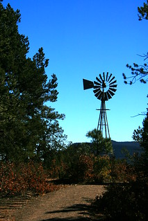
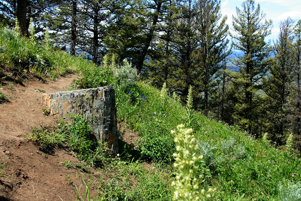
 

Windmill Hill


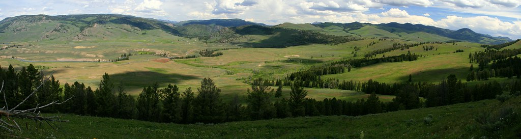
The Battle of Glorieta Pass was the decisive engagement in the trans-Pecos theater of the Civil War. The idea of the New Mexico campaign is pretty simple. Confederate Brigadier General Henry Hopkins Sibley and his Texan volunteers would drive up the Rio Grande to Albuquerque and Santa Fe. From there, they planned to cross the mountains at Glorieta Pass, moving eastward along the Santa Fe Trail (roughly modern I-25).  The rebels would resupply by seizing the major supply base at Fort Union and then move on to take the rich mines of Colorado. The campaign would also disrupt Union communications with California, Nevada, and Oregon.

The key to the campaign was logistics. The Confederates would have a long supply train stretching back to El Paso, and they needed to seize Fort Union to make the plan work. The Union commander, Colonel Edward R. S. Canby, understood the situation well. Though he “lost” every battle, he won the campaign. The Confederates lost their supply train, forcing them to retreat back down the Rio Grande. After taking a desperate escape route through the mountains, less than half of the Texans found their way home to Fort Bliss.
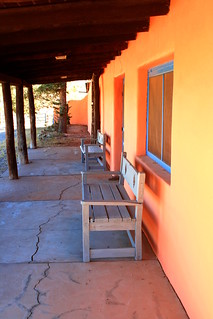
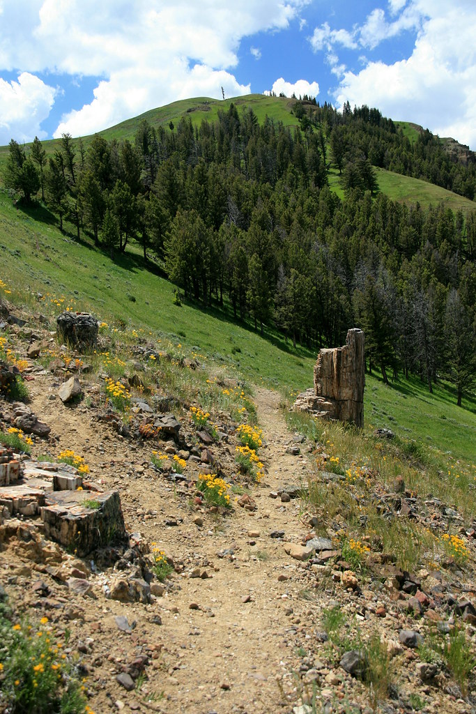
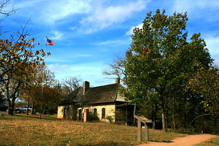
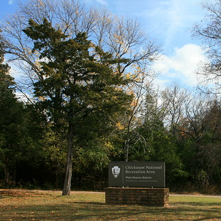
Kozlowski’s Ranch

The decisive moment came over three days at Glorieta Pass, March 26-28, 1862. On the third day, Canby split his forces in the face of the enemy. Almost half of his troops marched over Glorieta Mesa to the Confederate rear, where they destroyed the rebel supply train. The other half of the Union forces fought a delaying action. They gradually gave ground to Sibley’s Texans while remaining in good order and holding a position across the Santa Fe Trail.

The National Park Service notes that both sides suffered high losses (about 15% killed, wounded and captured). It also claims the battle was a tactical Confederate victory because the rebels held the ground at the end of the day – though Colorado volunteers did “save the Union” here.
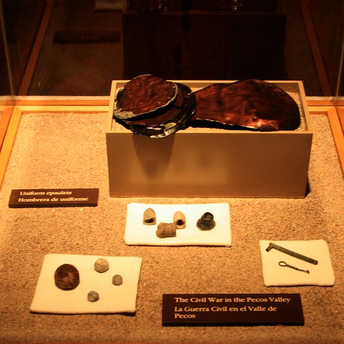
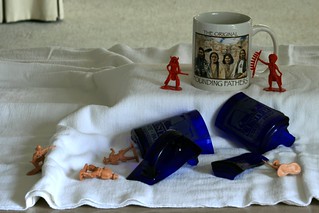
Civil war artifacts

Those claims miss the point: the ground of Glorieta Pass didn’t matter. The supply train did. Destroying the Confederates’ supplies while keeping the rebels away from Fort Union made this a decisive Union victory.

Don’t believe me? Look up pages 293-305 in Shelby Foote’s three-volume history of the war. He’s sympathetic to the Confederates and their strategic vision, and he always has an eye for Southern valor. Even so, Foote rightly sees logistics as key here. The fact that Canby sent almost half his men after the wagon train makes his own priorities clear.

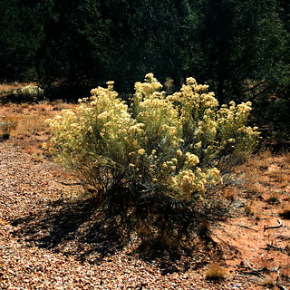
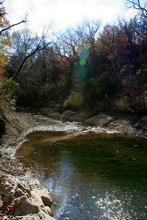
Rabbitbush on the Civil War trail

Why does the NPS get the story wrong? First, we must remember the professional mindset of military historians – they like battles. Understandably, the NPS hires military historians to develop the interpretation of military sites. That perspective leads to a view that “the Battle of Glorieta Pass represented the high water mark for a bold Confederate offensive into Union Territory on the western frontier. Here volunteers from Colorado clashed with tough Texans intent on conquering New Mexico.” Battlefield heroism rules.

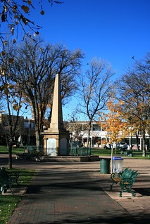
Plaza of the Governors

Second, the NPS inherited a particular landscape of memorialization here. The Texas Division of The United Daughters of the Confederacy got to the site first.  They erected a monument on the battlefield in 1939, in belated recognition of the Texan centennial. It took Colorado more than fifty years to follow suit, with a State Historical Society monument erected in 1993. New Mexico recognizes its soldiers on an obelisk in downtown Santa Fe, honoring “the heros of the Federal Army who fell at the battles of Cañon del Apache and Pigeon’s Rancho (La Glorieta), fought with the Rebels March 28, 1862.” All three monuments celebrate the battlefield heroism.

Park advocates share an interest in battlefield bravery. The site had remained in private hands until the Glorieta Battlefield Unit of Pecos National Historic Park was established in 1990. The Glorieta Battlefield Preservation Society, a group of regional Civil War reenactors, worked to preserve the site. The Council of America’s Military Past, the United Daughters of the Confederacy (UDC), and other military heritage groups worked with them.

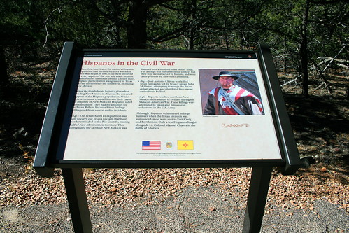
Hispanos at Glorieta Pass

When the NPS took over in 1990, that heroism lay across the landscape in roadside signs and memorials. Park advocates provided funding for the interpretive trail and most of the signs the visitor sees.  Signs funded by Texan and Confederate groups highlight the bravery of Sibley’s troops. Signs placed by the State of New Mexico highlight the role of Hispanos, New Mexican Volunteers, and U.S. Regulars.

Texas Mounted Volunteers

The UDC provided some of the text on its signs, and local history enthusiasts provided text on some New Mexico signs.  The UDC even thanks itself on one NPS-branded sign:

The Texas Monument honors the Texans who fought here and praise is due the Texas Division, UDC members for their perseverance and determination to dedicate this monument and establish the first park to preserve the memory of the Battle of Glorieta Pass.

Bravery, heroism, perseverance, and determination are all fine military qualities – – but don’t forget to burn the wagon train.

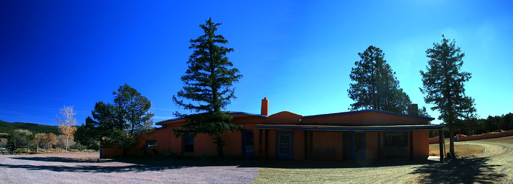
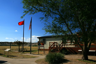
Kozlowski’s Ranch served as field hospital

This post draws on material from my book manuscript, Telling America’s Stories: How the National Parks Interpret Westward Expansion.

For another piece on how the NPS interprets the Civil War, see
“How the Cherokee Fought the Civil War,” Indian Country Today, 28 March 2012.

The Stories of the Black Hills

The Racetrack of the World

The Black Hills (Pahá Sapa) are a sacred cultural landscape. Sacred sites litter the landscape – unusual geologic features, hot springs, sacred peaks, and the locations of many legendary doings. Perhaps most important, the Hills hold a cave out of which Buffalo Woman, the first bison, and the Lakota people themselves sprung out of the earth. Many Native names remain on the landscape for those who see them, including Pe’ Sla, Wicicala Sakowin Pahá, and Mato Tipila.

Mato Tipila

The Pahá Sapa have seen many battles over their ownership and meaning. General George A. Custer successfully sparked a gold rush that led the United States to seize the Hills. This seizure violated previous treaties with the American Indians of the region. A century later, the U.S. Supreme Court recognized the justice of Lakota claims, and ordered the federal government to compensate the tribe. The Lakota have continued to demand return of the land instead of cash, so the compensation funds continue to accrue interest in an escrow account.


Inside Jewel Cave

The Black Hills are home to three national park units – Jewel Cave National Monument, Mount Rushmore National Memorial, and Wind Cave National Park.  Two more sites lie near the Hills and arguably part of them: Badlands National Park and Devils Tower National Monument.

Though all are part of the same landscape, National Park Service interest in Lakota stories varies enormously from one sites to another. Jewel Cave says almost nothing. Wind Cave acknowledges that the cave opening is the site of the Lakota origin story, but that’s about all it says. If you look at the visitor center, roadside signs, and website, Wind Cave is clearly much more interested in Anglo history. It tells of the struggles over cave ownership before this site became a national park, the work of the Civilian Conservation Corps to build the park’s infrastructure, and the government’s efforts to build a game preserve here.

Badlands South Unit

The South Unit of Badlands National Park does tell these stories. It’s in a portable trailer along the side of a state highway, and many of its exhibits do not meet the current quality standards of the NPS – clearly telling the occasional visitor how important the center is for the NPS. It’s also far off the beaten tourist track, and lies on the Pine Ridge Indian Reservation.

Playing with Souvenirs

Changes are afoot at Mount Rushmore. The brochure opens up the story a little bit, saying, “The faces on this mountain remind some of the founding fathers and the birth of this nation.  For others these faces remind them of cultural injustices and the loss of land and heritage.” In the summer, a “Lakota, Nakota, and Dakota Heritage Village” interprets the traditions of local Native communities.

Bear Lodge

Devils Tower (Mato Tipila) does much more. It tells visitors that this is a spiritually significant place to many tribal nations, and it uses the peak’s name in those languages. It explains the colored flags and tobacco offerings that visitors may see at the site. The park asks rock climbers not to climb the Tower in June because the month of the summer solstice has special religious significance. It also explains both sides of the rock climbing controversy, since many Native Americans would like people not to climb the Mato Tipila at all.

Makaopta Makosica Oinajin

What do the more successful sites have in common? The changes at Mount Rushmore occurred under Superintendent Gerard Baker (Mandan-Hidatsa), who grew up on the Fort Berthold Indian Reservation. Devils Tower has seen many of its changes under Superintendent Dorothy FireCloud (Rosebud Sioux) and her successor Reed Robinson (also Rosebud Sioux). Interpretation at Badlands South Unit is provided by the Oglala Lakota Nation through a cooperative agreement with the NPS.

Shield at Badlands South

Quite simply, when American Indians get a chance to manage these sites, Native stories appear. If Anglos have always managed the site, Native stories appear in only a pro forma way. Under Anglo management, centuries and millennia of Native heritage in the Pahá Sapa become a few sentences on a roadside sign. Those words are far less than attention than failed homesteaders, summer paleontology expeditions, or the Civilian Conservation Corps receive.

Telling everyone’s stories of the Pahá Sapa is better than only telling some people’s stories. Achieving that is pretty simple in principle: hire Native American superintendents and/or develop cooperative agreements with affiliated tribes. Because about eight percent of NPS employees are Native Americans, there’s a strong talent pool already available.

—-

This post draws on material from my book manuscript, Telling America’s Stories: How the National Parks Interpret Westward Expansion.  You can find some spin-off articles on my research page.

For some related articles, see
“No Longer Circling the Wagons: Many National Parks Get Indian Stories Wrong,” Indian Country Today, 7 September 2011.

“How the Cherokee Fought the Civil War,” Indian Country Today, 28 March 2012.

Click on any photo to go to my Flickr pages.

Badlands

When is a National Park not a National Park?

When the National Park Service doesn’t want it to be.

David Berger Memorial

Congress designated the David Berger Memorial as a national park unit in a 1980 national parks bill. As is its custom, Congress included a statement of national significance and assigned authority over the memorial to the Department of the Interior, of which the National Park Service is a part. As is also congressional custom, it did not provide funds for what it had authorized.

Reach for your dreams

The memorial makes up the entire David Berger National Monument. It remembers David Berger, a weightlifter with dual US-Israel citizenship who was one of the eleven Israeli athletes killed by Palestinian terrorists at the 1972 Munich Olympics. Eight Cleveland families, all friends of Berger’s parents, commissioned and paid for the sculpture.

Broken Rings

Berger’s parents, Dr. Benjamin and Dorothy Berger, were long-time friends of Howard Metzenbaum, who represented Ohio in the U.S. Senate from 1976 to 1995. That’s presumably how the monument ended up getting designated as a national memorial.

Is it a national park unit? You can argue it either way.  The National Park Service doesn’t have it on the official list of park units but it’s on several official websites and brochures. The unofficial word is that NPS staff have never thought it “worthy.”

More of the history at the National Parks Traveler.
More photos here.