About Robert Pahre

I'm a professor of Political Science at the University of Illinois.

Teaching the National Parks

Robert Pahre and Carie Steele, “Teaching Politics in the National Parks,” Journal of Political Science Education, 11(3): 301-318.DOI: 10.1080/15512169.2015.1047099

Abstract

Other than trips to government offices, political science has generally not used field experiences as part of the undergraduate curriculum. To illustrate the possibilities of such experiences, we discuss field-based courses and curricular units at three sites. Each uses a national park to teach students about environmental politics and policy issues. The course designs use experiential education theory to define learning objectives and the means to achieve them. We provide evidence from students’ self-reported academic and nonacademic outcomes that is consistent with the expectations of experiential theory. Not surprisingly, course evaluations are high. More important for experiential curricula, students report high levels of motivation in these courses, whether the experience is long or short, whether advertised in advance or not. Though self-selection may explain some of the positive outcomes, two before-and-after surveys suggest that experiential outcomes exceed expectations in interesting ways. In short, students like field experiences, the field experiences motivate them to learn, they learn more effectively, and they enjoy these courses more. Experiential opportunities should play a more important role in the political science curriculum.

If you’re interested in seeing the entire paper, please email me at pahre@illinois.edu for the access code.

A House Divided at Ulysses S. Grant NHS

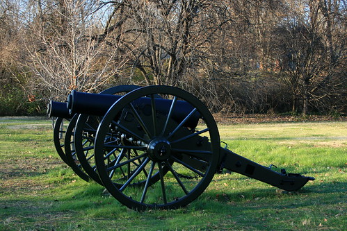
24-pound howitzers at Grant

The Civil War battlefields in the National Park System have long emphasized battlefield tactics and heroism. They are decorated with stately cannon, and it’s hard to imagine the blood and noise of the battlefield. Until recently, most of them have also skirted around the big issue: why were these men fighting in the first place?


The answer, briefly put, is slavery. Southerners have resisted that conclusion, and Civil War buffs in the South have fought NPS staff at those sites that have taken the issue on. Interpretation is changing – for example, Chickamauga has a good exhibit on how slavery caused the war, though it’s shoehorned into a hallway. Among the battlefields I’ve visited in recent years, Pea Ridge and Murfreesboro address slavery, while Wilson’s Creek and Glorieta Pass (Pecos) do not.

Visitor Center

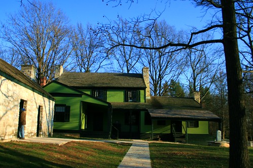
One of the best interpretations of slavery in the Civil War appears not at a battlefield, but at Ulysses S. Grant NHS in a suburb of St. Louis. Slavery plays a major role in interpretation throughout the site. The brochure calls White Haven as “A Microcosm of National Issues” because it divided Grant from his in-laws, who owned the White Haven farm here.

Family Photos

His father-in-law, “Colonel” Dent was a slaveholder who favored secession. Grant’s father, Jesse Grant, was a strong opponent of slavery who refused to visit his son at White Haven. Julia’s brother Fred, a long-time friend of Ulysses, fought with the Union. However, John Dent, Fred and Julia’s brother, fought for the Confederacy.

Enslaved people work the farm

The website gives a page to slavery, discussing the economics and demographics of the institution in Missouri. Visitors to the farm will find the same information throughout the house and grounds. Aside from the plantations of the “Little Dixie” region along the Missouri River and the “Bootheel” region in the southeast, most of Missouri did not have many slaves. White Haven’s ten slaves made it unusual in the St. Louis region, whose enslaved population was in steady decline. This reflected a change in farm economy, as farming switched from large-scale plantations using slaves to grow cash crops to small-scale truck farms growing fresh produce for the urban market.

The NPS has given the enslaved people of White Haven an opportunity to tell their stories, notably the cook Mary Robinson. Her later recollections enrich interpretation throughout the site, including details of the kitchen work. Visitors will learn that some of the enslaved staff here could read and write, though both pursuits were illegal under Missouri law. Slate pencils found in the winter kitchen provide evidence of literacy.

The house at White Haven

Julia’s puzzlement at one slave’s “carelessness” also provides a window into how the enslaved workers evaded her oversight. “Old Bob” was responsible for keeping the fires going in the seven fireplaces of White Haven. When the embers died out, he had to walk a mile to the neighbors “and bring home a brand of fire from their backlog.” Obviously, this gave him some free time away from the Dents, and an opportunity to socialize at a neighboring farm. The enslaved staff also used to bring Julia special gifts so that she would intercede with her parents to allow them to travel to visit their wives on nearby farms.

Grant and Dent argue slavery before Mary Robinson. (This exhibit has since been changed.)

The NPS points out that Julia Dent seemed oblivious to other realities, thinking that the “house kept itself” and that the family “produced” the crops on the farm. She later wrote that she believed they were happy, at least before “the Rebellion.”

Ulysses had a better sense of the material conditions of slavery. Presumably this understanding played some role when he remodeled the kitchen after the war, providing modern appliances and inside passageways from the kitchen.

Reality struck home when the Union gained control of neutral Missouri early in the Civil War. Colonel Dent avoided St. Louis, now dominated by Unionists, and became estranged from many of his neighbors. His slaves saw opportunity and began to run away, demonstrating by their actions just what they thought of their master and his home.

Ulysses S. Grant National Historic Site does a good job interpreting the realities of slavery in this part of Missouri, and shows how other the Civil War battlefields might take a more realistic look at what the Civil War was really about.

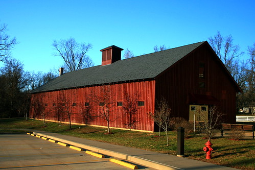
Grant’s barn, now museum

This is part of my book manuscript, Telling America’s Stories: How the National Parks Tell the Stories of Westward Expansion, in progress.

More photos in my Flickr album.

Official NPS site

An Experiential Quasi-Experiment

Audrey Neville and I will be conducting a quasi-experiment next semester in my lecture course on environmental politics. Students can decide to go on a field trip with me to Indiana Dunes National Lakeshore. If they prefer, they can go on an online “virtual field trip” to the same place. Either way, they will complete the same assignments – some quiz-like questions along the way, some discussion, and a take-home essay at the end.

We’re interested in how the physicality of experiential learning affects learning outcomes. I won’t go into our expectations here, but they follow in a straightforward way from the literature on experiential learning. Some earlier work with Carie Steele has evaluated field experiences in a non-experimental way. Audrey and I see this second project as a quasi-experiment in which we compare two modes of learning. It’s important to note that we do not compare either learning mode to a null (no field trip), but only against one another.

The field trip is embedded in a larger course, and presents material equal to about 1.5-2 weeks in that course. All students engage in an online learning activity (OLA) that introduces key analytics and concepts relevant to the field trip. The unit focuses on the relations of humans and nature in the abstract, drawing from issues you may know from William Cronon’s Uncommon Ground. Then we apply those issues to the concrete landscape of Northwest Indiana, where a national park unit coexists with three steel mills, two power plants, the Port of Indiana, two US highways, three interstates, and a mix of communities that range from second homes for the wealthy to the post-industrial cities of Gary and Hammond.

The physical field trip lasts an entire Saturday, about 11-12 hours from door to door. About half of that experience is driving. Our target is to make the virtual field trip take about 5-6 hours, though it’s possible that students can work through it a bit faster. The virtual field trip has quite a bit of video, taken on a pseudo field trip in September with three Illinois students acting as stand-ins for the virtual students. This was the third time I’ve taken students to Indiana Dunes, so my “shticks” are pretty stable.

We designed the OLA and the two field trips with the experiment in mind, but we did not design them to serve the experiment. The material serves pre-existing learning objectives in the course. We followed several principles in our OLA and field trip designs, and these principles affect the quasi-experiment.


Autonomy. Students choose their own experience, based on their own interests and commitments. We do not randomly assign them to either. (Random assignment would also introduce some injustices that we want to avoid.) We expect some differences in the two student populations, and we will have to control for those differences instead of getting rid of them through random assignment.

Access. All students should have access to whatever modes help them learn best. Following the conventions of experimental design would require a control group of students who would not be allowed to access either field trip. These conventions would undermine pedagogical principles of access. We will thus use a nonequivalent groups design to examine how the treatments affect student learning. Though an experimental design would have better internal validity, it seems strange to sacrifice student learning in pursuit of greater understanding of student learning.


Student learning first. We want both options to provide great learning experiences, and we’re not going to sacrifice learning in either option to make the other option look better. If we need to make tradeoffs between the purity of the experiment and pedagogy, pedagogy will always triumph.


For this reason, we allow students who take the physical field trip to view the virtual field trip if they like. We will also provide students who take the virtual field trip with enough information to drive up to Indiana Dunes on their own and obtain a physical experience. We want students to be able to do whatever they want to do in order to succeed in the course. We realize that this is not ideal in terms of experimental design, and we’ll have to control for any students who do this.

Neutrality. We want the physical and virtual field trips to be as similar as we can make them. We want both to be successful learning experiences. Students may mention things that they “saw” without revealing whether it was virtual or physical. their choice. We should not know whether a student chose the virtual or physical field trip, and will grade without that information.


Online learning is popular among administrators and some faculty, controversial among other faculty. People usually contrast online learning with classroom learning, whether lectures or seminars. However, advocates of experiential learning believe that it provides much better learning outcomes. I teach across all three “platforms,” and want to understand better what each platform does best.

Thank you for reading so far. We would be grateful for your comments and reactions as we finalize our course design and research design.

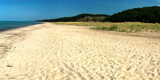
Bailly Beach


Yellowstone 2013 – The Grand Tetons

Emma Matilda Lake

In previous years, we have started class in Grand Teton National Park.  We often have students who choose to fly, so we pick them up at the Jackson airport. Being further south than Yellowstone, GTNP is also a little bit closer to Illinois, and we can cover the 1350 miles in two days.


Dependable moose

Seeing the Tetons first can shape students’ views of Yellowstone in negative ways.  For many students, Yellowstone can be a bit of a disappointment, as they decide that they like the spectacular scenery of the Tetons more. Jackson Hole also has a more visible elk population, which shapes students’ perceptions of the landscape.  Wildlife such as moose is more dependably visible on Teton trails.

The Tetons are hard to beat

Interestingly, seeing Yellowstone first in 2013 produced the same result – the Tetons show better.  The reasons varied a little. Students preferred the scenery in the Tetons to that in Yellowstone. Students preferred the feel of Teton trails over the boardwalks and greater development of Yellowstone’s trails, even in the backcountry.

Making bad choices?

Students also though that the Tetons attracted “higher quality” hikers, even on the very popular trail to Inspiration Point. It’s been interesting to me that “lower quality” hikers (unprepared in clothing, supplies and demeanor) make my students view a trail as more like developed frontcountry.

This year’s wildlife viewing was not noticeably better in either park. We did not see pronghorns in either park, though we saw many outside the parks. We did not see moose, wolves or bighorn. We did see some smaller species for the first time in my classes, notably badger and pika. Yet even without wildlife sightings, students preferred the Tetons.


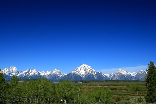
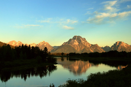
Tetons at Dawn

Is there something wrong with Yellowstone? You can’t do much about the scenery.  The Tetons are one of the world’s great mountain ranges in scenic terms. Yellowstone has the Absaroka, Beartooth, Gallatin, Red, and Washburn ranges — all beautiful but they do not match the Tetons. Spectacular as Yellowstone Lake is, Jackson Lake has the better setting.

Far from the madding crowd

More important than the scenery, the visitor experience in Yellowstone clearly impacts the students’ own visitor experiences in undesirable ways.  Visitors are more likely to seem ill-prepared in Yellowstone, are more likely to stick to the parking lots, and seem to crowd the wildlife more. That makes Yellowstone seem less natural, even less “wild.”

Better without people?

Sadly, in the world’s first national park, visitors can be a problem for other visitors.


Fuzzy Wilderness

Evidence of human presence in a state wilderness area.

Wilderness law encourages us to draw a sharp line between “wilderness” and “not wilderness.”  That’s certainly easy for land managers because it tells them how to manage specific lands on either side of a line.  It’s supported by the natural science approach to most land management, which thinks in terms of physical characteristics of a place.

Loon Lake, Sylvania Wilderness

A wilderness is “untrammeled,” without evidence of human occupation or resource use.  (Evidence of recreational trammeling is, perhaps incoherently, consistent with a this definition of legal wilderness.)


Not a legal wilderness, but it seemed wild.

Humanists might suggest that “wilderness” is socially constructed. Society has built an idea of wilderness in general, and associates certain kinds of places with that idea. As I know from conversations with students, those ideas are widely held but also somewhat malleable. Students are willing to consider types of wilderness they hadn’t thought of before, like caves, underwater sites, or tallgrass prairie. They also change their minds about what signs of human presence they will accept.


Politics of Yellowstone

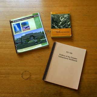
Workbooks and such

As is usually true, social scientists tend to take positions straddling the views of humanists and natural scientists.  Through surveys, logs and journals, poking hikers randomly for their feelings, and other techniques, social scientists have connected physical places to social constructions of those places.  I do this informally while teaching, drawing from the wilderness literature to define the kinds of questions I ask. Students fill out worksheets that look like some of the surveys, and I control the places where I have them fill them out.

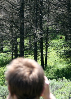
Bear viewing on the trail

Based on some of these techniques, Carie Steele (Texas Tech) and I have examined how our students have constructed the idea of “wilderness” in the field. In a recent article, “What Makes it Wild?”, we discuss two different ways that perceptions of wilderness change independent of the landscape. First, the sequence of wildlife sightings matters: seeing elk and then a bear along a trail is different than seeing a bear and then an elk along the same trail. Seeing the bear first makes the trail seem wild, which makes the elk seem wilder too; seeing the elk first would not make the trail seem wild. Bison, wolves, and even spawning trout can make a place seem wilder.

Using social media to construct “wilderness”

Second, a group may define wildlife and wilderness in idiosyncratic ways. This makes one group perceive a place differently than other groups do, just because of the peculiar direction their own conversations have gone.

The Yellowstone River is wild here.

If “wilderness” is socially constructed, if it changes, if people view it differently, if different groups arrive at different construction, then we probably should not think of wilderness in terms of sharp lines. If our definitions of wilderness are degrees of gray, instead of being black and white, how should we manage wild places? How do we keep it wild if “wild” is a gray area to begin with?


The 1964 Wilderness allows grazing.

These constructions have real consequences for land management.  For example, the National Park Service wants to remove a sustainable oyster farm from a wilderness area in Point Reyes National Seashore because it’s incompatible with “wilderness.” Defenders of the oyster farm, including some wilderness theorists, disagree. They believe some kinds of resource use are compatible with “wilderness.”

Does a fuzzy wilderness have oyster farms?


For the Point Reyes issue, Google “Drakes Estero.” You’ll see links to both sides.

Pahre, Robert and Carie Steele. 2013. “What Makes it Wild? Visitors’ Constructions of Wildlife and Wilderness in the Greater Yellowstone Area.” International Journal of Wilderness 19(3): 25-31 (December). Available here in an on-screen reader at the IJW website.

Some photos of wilderness.

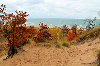
Autumn in the Dunes

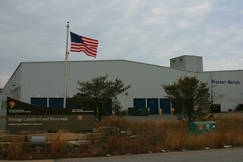
Entrance to Portage Lakefront Unit

In early November, I took a group of students from my “Environmental Politics” class on a field trip to Indiana Dunes National Lakeshore.  A few of them knew the dunes as a good place to go to the beach – but that wasn’t our agenda on a windy November day.

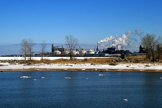
Midwest Steel from Portage Lakefront

We started at the Portage Lakefront Unit to talk about the political history of the region.  From the breakwater, you can see the full sweep of the Lake Michigan shoreline from Michigan City, Indiana, to Chicago.  We couldn’t quite see Chicago, but the industry of East Chicago, Whiting, Gary, and Hammond were all visible.


At this spot, the park faces a steel mill across the channel of Burns Ditch.  The Port of Indiana and a NIPSCO power plant, both of which serve the mill, are barely visible on the other side of the factory.  The town of Ogden Dunes lies on the other side of the park, a well-to-do community that benefits from the protected landscape of the national park.

Dunes and Industry

The political geography of national parks is nowhere more visible than here. Indiana Dunes National Lakeshore owes its existence to a political compromise in 1963.  Dune advocates accepted a subsidized harbor bill while industrialists acquiesced in creation of a national park unit here.  Each got the core of what they wanted, while each had to accept the existence of the other next door.

NIPSCO from Bailly Beach

The geography of Portage Lakefront makes this compromise visible, and always sparks a conversation. How can nature and humans coexist? What are the benefits, and what are the costs? Seeing a national park, residential community, and major industry lying cheek-and-jowl shows students what these issues look like on the physical landscape.


Cowles Bog Trail

After Portage Lakefront, we explored the natural landscape that the park preserves. The best place to do this is the Cowles Bog Trail.  The trail begins by walking along Cowles Bog, a National Historic Landmark that recognizes where Henry Chandler Cowles (1869-1939) pioneered the study of ecology. The swamp forest here includes pin oak, red maple, and yellow birch. Some of these trees are moving into the swamp and transforming it.  In one stretch, the NPS kills these trees by girdling them, to halt this natural process of ecological succession. The park honors Cowles’ studies of ecological succession by arresting this process in time, thereby displaying it better in space – keeping both the fen and the swamp forest.


The final dune

As we climb into the dunes, we gradually see more habitats, including oak savanna with black and white oaks and shrubs such as chokecherry, witch hazel and sumac. We pass some ponds behind the dunes, and then finally arrive at the foredunes above Lake Michigan.  On top of the dunes we see various hardwoods that have established themselves.  They can move in here because the marram grass near the beach has stabilized the soil and transformed the ecosystem, providing a place for cottonwood, oak, hickory, and white ash to move in.

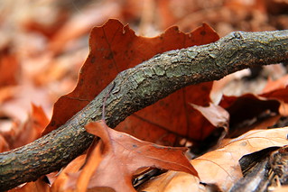
Root and Leaf

These diverse microhabitats characterize Indiana Dunes, and explain why this small place holds more than one thousand plant species. Congress preserved not only recreational opportunities on the beach and trails but also a hotspot of biodiversity.  Microhabitats are scattered among towns, factories and transportation networks – a microcosm of the wider problem of environmental politics today.

Park Pavilion and Steel Mill

Can we preserve natural places and a full range of biodiversity in a landscape dominated by humans? Does preserving our natural heritage require killing native trees? While they enjoyed getting out of Champaign-Urbana for the day, we also left them with some questions for their reflective essays on the trip.


Additional links and resources

For four seasons in Indiana Dunes, see my Flickr set.

For my essay comparing Indiana Dunes with Michigan’s Sleeping Bear Dunes, see the National Park Traveler.

For my photo essay on the Midwest’s national park units, see Illinois Issues.

Official site for the Indiana Dunes.

The Dunes of Lake Michigan

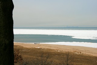
Portage Lake Unit in Winter

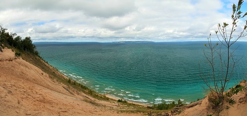
Lake Michigan has two great national parks, Indiana Dunes National Lakeshore (Indiana) and Sleeping Bear Dunes National Lakeshore (Michigan). Both are biologically rich, and reward exploration. Don’t stop at the beach!


The Old Man and the Sea

There’s also a political back story in each place, with questions of race and class, and trade-offs between economic growth and the environment.

See my full story here.

Photos from Indiana Dunes.

Photos from Sleeping Bear Dunes.

Further reading

For Indiana Dunes, see
Franklin, Kay and Norma Schaeffer. 1983. Duel for the Dunes: Land Use Conflict on the Shores of Lake Michigan. Urbana and Chicago: University of Illinois Press.

For Sleeping Bear Dunes, see
Kalt, Brian C. 2001. Sixties Sandstorm: The Fight Over Establishment of a Sleeping Bear Dunes National Lakeshore, 1961-1970. East Lansing: Michigan State University Press.

For data and charts on visitation to Indiana Dunes by underrepresented groups, see the following article. Indiana Dunes is unusual compared to other park units, apparently because it lies close to minority-dominant communities.
Weber, Joe and Selima Sultana. 2012. “Why Do So Few Minority People Visit National Parks? Visitation and the Accessibility of ‘America’s Best Idea.’” Annals of the Association of American Geographers 1-28.

The Manitous

Yellowstone 2013: Geology

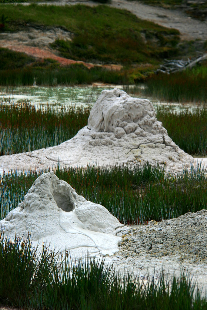
Two Cones

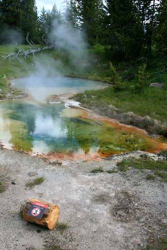
Yellowstone is famous for its geology.  The park holds more than half of the world’s thermal features.  Its surface appearance reflects the activity of a huge caldera that last erupted about 650,000 years ago.  The Yellowstone River carves a spectacular canyon, the Grand Canyon of the Yellowstone, that holds two beautiful waterfalls, 308 and 109 feet high.  There are petrified forests atop Specimen Ridge inside the park and in the northern Gallatin range just outside it. Mountains such as the Gallatin, Beartooth, and Absaroka ranges ring the park, and the Red Mountains lie entirely within it.
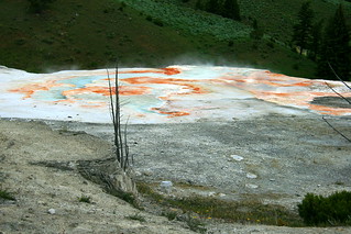
Terrace at Mammoth Hot Springs

Despite those riches, geology is an awkward subject for a class on the “Politics of Yellowstone.” The federal government does not have a policy on place tectonics or volcanism. With rare exceptions, we do not have a geyser policy. At the same time, it would be stupid for the course to ignore these wonders. The students rightly want to see this famous geology while they’re in the park.
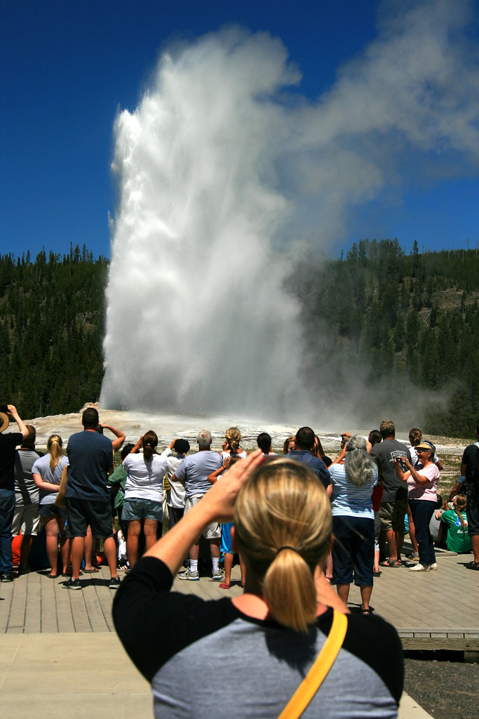
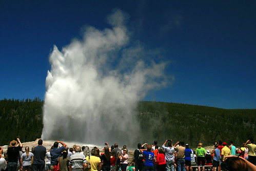
Old Faithful

What to do?  We use the scenic geology to start talking about tourism. By visiting tourist-heavy destinations like Old Faithful or the Grand Canyon of the Yellowstone, we examine the impact of tourism development on the environment. Finding a geyser along the trail in an isolated area is very different than viewing Old Faithful from a boardwalk surrounded by hotels, restaurants, gift shops and parking lots.

Our first examination of these issues in 2013 came along a trail I call the “Yellowstone Sampler.” We see some unfenced thermal features in the backcountry and usually walk fairly close to some bachelor bison groups at the north end of the Hayden Valley.  After lunch at a scenic spot, we emerge from a moderately-low use trail to the crowds and parking lots of Artist Point.  The transition is pretty sudden, which makes it a good place to talk about developed tourism and personal experiences of nature.
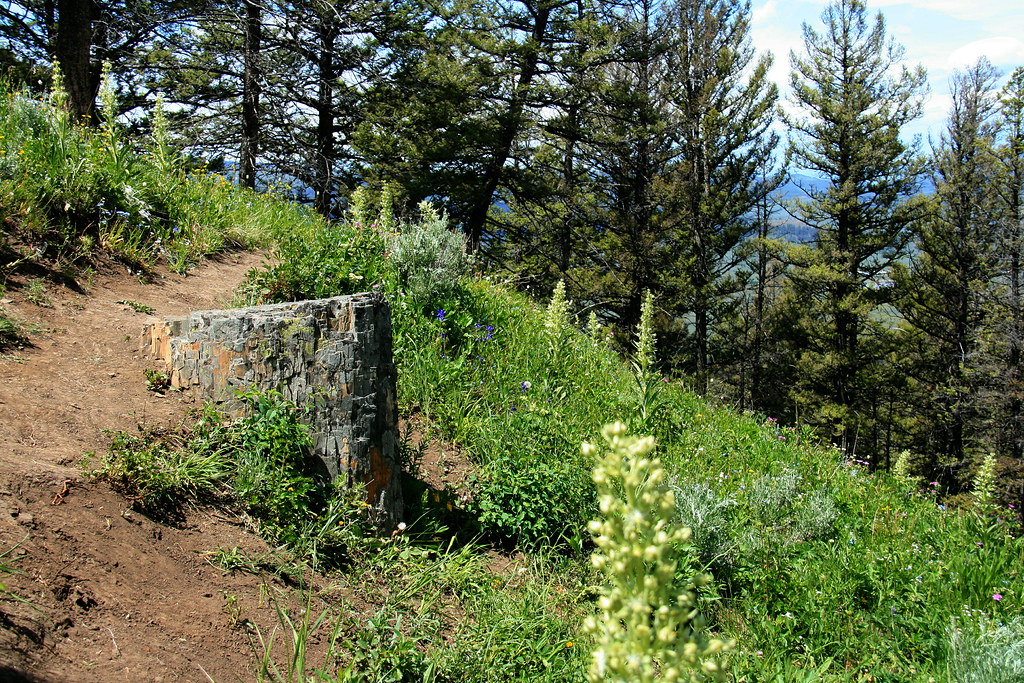
Stumped!

The hike encourages students to think about “wilderness” – the Wilderness Act of 1964, students’ personal definitions of nature and of wilderness, and the views of other people. Does wilderness matter to people? Is it important for well-functioning ecosystems? Does the preservation of the world, as Thoreau wrote, lie in wildness?
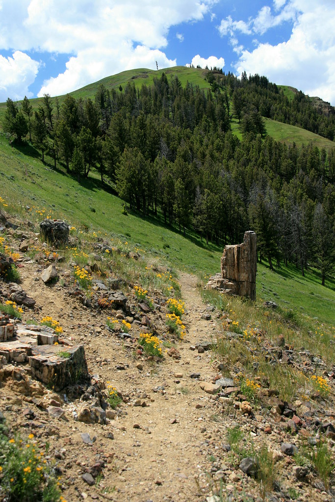
Specimen Ridge


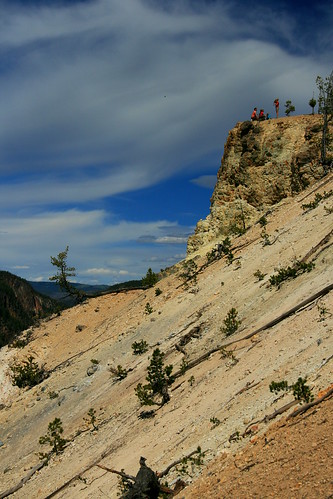
In 2013, I added a new hike to our second full day in the park.  As part of our driving tour of the Lamar Valley’s wildlife, we climbed the lower reaches of Specimen Ridge to reach a petrified forest.  This was a remarkably steep trail, posing a definite physical challenge – but one that rewarded us with great views from high above the Lamar. We remained in sight of the park road, but the physical challenge contributed to the wilderness feel of the experience for many students.

Though some guidebooks describe it, Petrified Forest is an unofficial trail, not found on park maps. The Park Service does not maintain it, so people find their own track.  This results in many social trails and greater impact on the landscape.

In some parks, there might be a road going up to a site like this.  Instead, Yellowstone has decided to keep these petrified trees unpublicized, accessible only by a difficult and unmaintained trail.
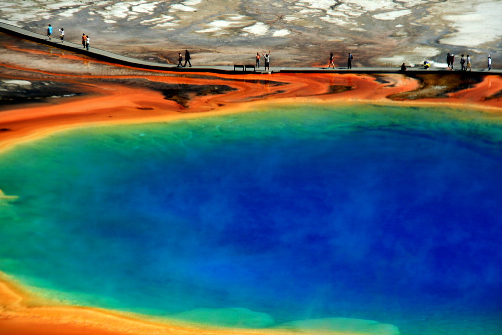
Boardwalk at Grand Prismatic

Is that democratic?  Most visitors – about 97% – want to experience Yellowstone from their automobile or a high-density, paved path. Why do we keep them away from the petrified forest?  Automobile sightseers are restricted to a single petrified tree just off the park road, and that tree is surrounded by a fence.  Even that lonely tree is inaccessible to recreational vehicles. Is that fair? Or should the park keep some destinations away from the vehicles, recognizing that hikers have some “right” to physical challenge?
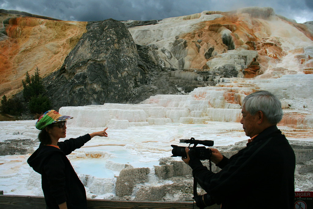
Parks are for people


When you ask those questions you realize that Yellowstone’s geology starts to open up all sorts of questions about political values.  What are national parks for? Who are they for?

Some might argue that Yellowstone should serve the vast majority of Americans who want to go sightseeing only a short distance from their automobiles.  Others might emphasize the wilderness experience that can be found only in the larger national parks. Still others might move away from human needs and argue that only large wilderness areas can protect intact, well-functioning ecosystems.

Those are the big topics of the national parks. Geology may not be a politically-salient topic, but it turns out that you can find political themes if you use the geology to play tourist.

Lamar Valley from Specimen Ridge

If you’re interested in geology, and to some degree even if you’re not, I recommend Geology Underfoot in Yellowstone by Marc Hendrix.

For a fascinating view of the human footprint on the geologic record, see Jan Zalasiewicz’s The Earth After Us: What Legacy Will Humans Leave in the Rocks?

Photos from the 2013 Yellowstone course are on Flickr.

Yellowstone 2013 – The Waters of Yellowstone

Absarokas across Yellowstone Lake

In past years, the first day in Yellowstone involved driving up from the Tetons, with stops at the West Thumb geyser basin before hitting the iconic site of Old Faithful.  This year, our introduction to the park began with Yellowstone Lake.


Geyser cone in Yellowstone Lake

We entered Yellowstone through the East Entrance, which brought us to the Lake Overlook. This was the site for my first mini-lectures, on wilderness, Native traditions of the region, and the Lake ecosystem.

Historically, cutthroat trout have provided a key part of the ecosystem here. When they spawn in the creeks around Yellowstone Lake, they provide a spring food source for grizzly bears. They also feed otters, ospreys, eagles, pelicans, and many smaller predators.


Deep water

It looks pristine — but not all is well. Cutthroat trout populations are suffering at the hands of non-native Lake trout in Yellowstone Lake. Those trout live in deep water and spawn in the lake’s depths, making them unavailable as a food source for predators. They also eat the native cutthroats.

Other waters face their own challenges. Fly fishers say the hatches of nymphs and flies are not what they used to be. Acid rain from industrial areas to the west is changing the pH of these waters, leaching trace minerals that are key nutrients for bighorn sheep.


Yellowstone Blues

Changes in wetlands, lakes and rivers have also harmed Yellowstone’s amphibians.  Though they are not as abundant as they used to be, we found some Tiger salamanders later in the week, at Lake Isa, on our annual salamander hunt.

In addition to these human-caused threats to the ecosystem, the Greater Yellowstone Area is in a period of extended drought. These periods have happened regularly in the park’s history, so we need not assume that global climate change is responsible. Drought has important political implications throughout the West.  Industry, consumers, and especially agriculture rely on water, and water authorities must work to find new sources in a drought.


Double pool at West Thumb

Historically the need for water has led to pressures to build dams and other projects in western national parks. In Grand Teton National Park, a dam raises the level of Jackson Lake by nine feet, water that supplies the potato farmers of Idaho’s Snake River Valley. Farmers have also cast covetous eyes at Yellowstone Lake, the Yellowstone River, the Snake River inside Yellowstone, and the many rivers of the Bechler region in the southwest of the park. Unlike other iconic parks – Yosemite, Glacier, Rocky Mountain – there are no dams here. But there’s always the potential for new demands.


Storm Point

After visiting the Lake Overview, we drove to a trailhead where we saw our first bison. We hiked to Storm Point, where we were treated to wind, high waves, and a light squall. We  saw the local marmot colony before returning to the van. A quick stop at the Fishing Bridge visitor center and then the West Thumb geysers completed the day.


For further reading on the health of the Greater Yellowstone Ecosystem, check out Jack Turner’s Travels in the Greater Yellowstone.

Photos from the 2013 Yellowstone course are on Flickr.

Yellowstone 2013 – Getting there

Reading material on the road

In a regular classroom, it’s relatively easy to arrange topics in the order you want. You have to work around constraints like Thanksgiving break, and obviously the number of topics has to fit the number of class sessions in one way or another.  But that’s about it.

A field course also has constraints of the calendar. The biggest challenge is somewhat different: making geography fit both a chronological sequence and an analytical one.  We don’t have transporters that get us from place to place in whatever sequence we like. Instead, the geography must tell a story.
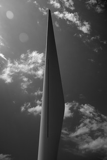
Windmill blade in Iowa

In past years, I’ve been constrained by the airport at Jackson Hole – some students have chosen to ride the van with me while others have flown. I’ve used that to tell a story of tourism, starting with a superficial engagement of the Grand Teton range. We see the Tetons as a tourist sees it while driving through, and then engage the landscape more deeply with hikes and an introduction to wildlife and ecosystems. Then we engage wildlife more deeply in Yellowstone, and loop back to Jackson Hole and the airport.


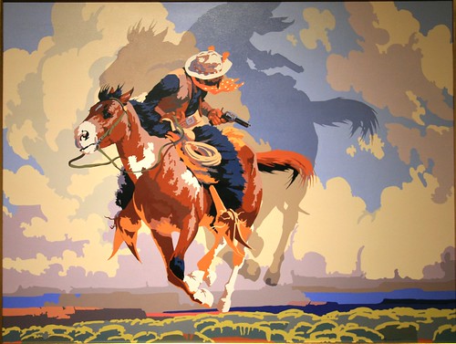
Back to the mythic West!

This year I had the freedom to do something different, a great crescent through the parks. We began at Cody, Wyoming, with an overview of the mythic West. My impressions over the years is that “the West” often helps recruit students to the class, but students vary considerably in terms of how detailed this vision is. They do know what a rodeo is, however.

Rooting for the calf

After a long drive on the second day, students had the option of attending the nightly rodeo in Cody, Wyoming. Questions of animal welfare sparked some reactions, especially when they saw calf roping and bull riding.


Rodeo clown and bull riding

Another cultural surprise came as the announcer and rodeo clown engaged in some banter that consisted mostly of bad jokes. A few of those jokes used stereotypes that would be socially unacceptable back in Illinois. That introduction to Western ways had most of us rooting for the bull against the rodeo clown.

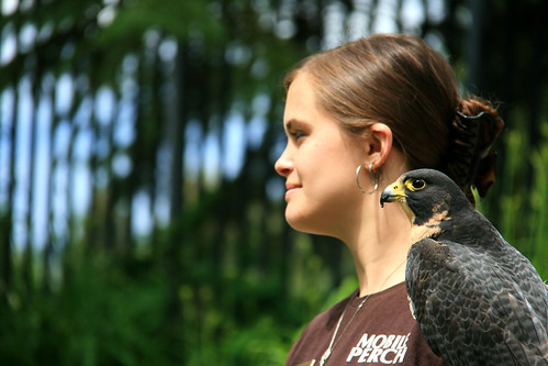
Peregrine falcon and handler

We formally began class at the Buffalo Bill Historic Center the next morning. We visited the Draper Museum of Natural History, providing an introduction to the Greater Yellowstone Ecosystem from low-elevation sagebrush flats to high-elevation tundra. Students explored the other four museums according to interest (Plains Indians, Art, Firearms and Buffalo Bill). We finished with a live raptor show.

Then . . . off to Yellowstone !

The entire set of 2013 Yellowstone photos is on my Flickr page here.